Geography and setting
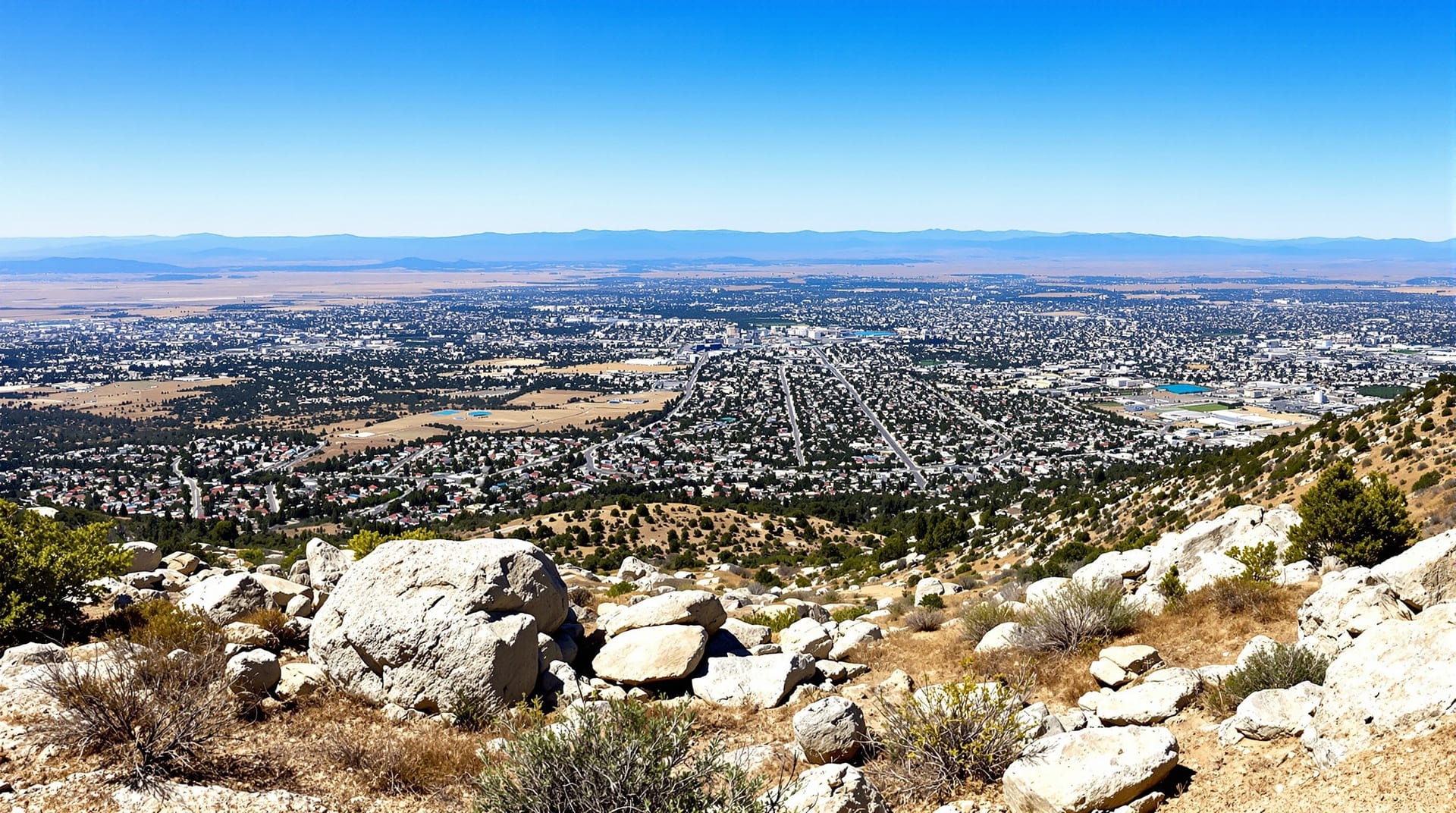
The valley floor sits a little over 800 feet above sea level and is interrupted by several steep granite hills that were too rocky to farm and were therefore never built over in the same way as the flats. Mount Rubidoux rises on the western side of the city and is a public park with a summit trail; Box Springs Mountain forms the northeastern skyline; Sycamore Canyon Wilderness Park preserves a stretch of native chaparral and rolling ridge between the eastern neighborhoods.
The Santa Ana River runs along the northern edge of the city, and its floodplain is the reason the northern boundary looks the way it does — a mix of parkland, trail corridor and open space rather than continuous development. The United States Geological Survey is the reference for the region's topography, hydrology and seismicity, all three of which are relevant to any specific property.
Southern California's seismic setting applies here as everywhere in the region. Any home purchase should include an understanding of the structure's age, foundation type and retrofit history, and the state and federal hazard mapping is public.
Climate
The climate is hot-summer Mediterranean, trending semi-arid. The pattern in practice:
- Summer (June–September). Hot and dry. Long stretches in the 90s and above; days over 100°F are routine. Low humidity, large day-to-night swing, and reliable sunshine.
- Autumn (October–November). Warm days, cooling nights, and the onset of Santa Ana wind conditions — dry offshore winds that drop humidity sharply and raise regional fire risk.
- Winter (December–February). Mild. Daytime temperatures usually in the 60s, nights occasionally near freezing in low-lying spots. This is when most rain falls.
- Spring (March–May). The most temperate stretch of the year, with green hills after a wet winter and a rapid return to heat by late May.
Annual precipitation averages around ten inches, but the average conceals enormous year-to-year variation — a wet year can deliver double the norm and a dry year a fraction of it. The National Weather Service publishes the current forecasts and the long-term climate records for the region, and the California Department of Water Resources tracks statewide water supply conditions, which is what ultimately drives conservation requirements.
Getting around
Riverside is a driving city, laid out before and during the automobile era, with wide arterials and generous parking by coastal standards. The main freeway connections are:
- State Route 91 — the primary route west toward Orange County and the coast, and the region's heaviest peak-direction commute.
- Interstate 215 — north toward San Bernardino and south toward Perris and the Temecula valley.
- State Route 60 — northwest toward Los Angeles County.
- Interstate 10 — reached to the north, running east–west across the region.
Commuter rail connects Riverside with Los Angeles and with Orange County, and local bus service links the neighborhoods, the university and the downtown transit hub. Corridor projects, funding and long-range plans for all of it are published by the Riverside County Transportation Commission. The nearest full-service commercial airport is in Ontario, roughly twenty miles northwest, with the larger Los Angeles and Orange County airports within reasonable driving distance outside peak hours.
Cycling and walking infrastructure is strongest along the river trail and within the older grid neighborhoods, where blocks are short and streets are shaded. In the newer southern developments, distances are longer and the street pattern is designed around cars.
Parks and open space
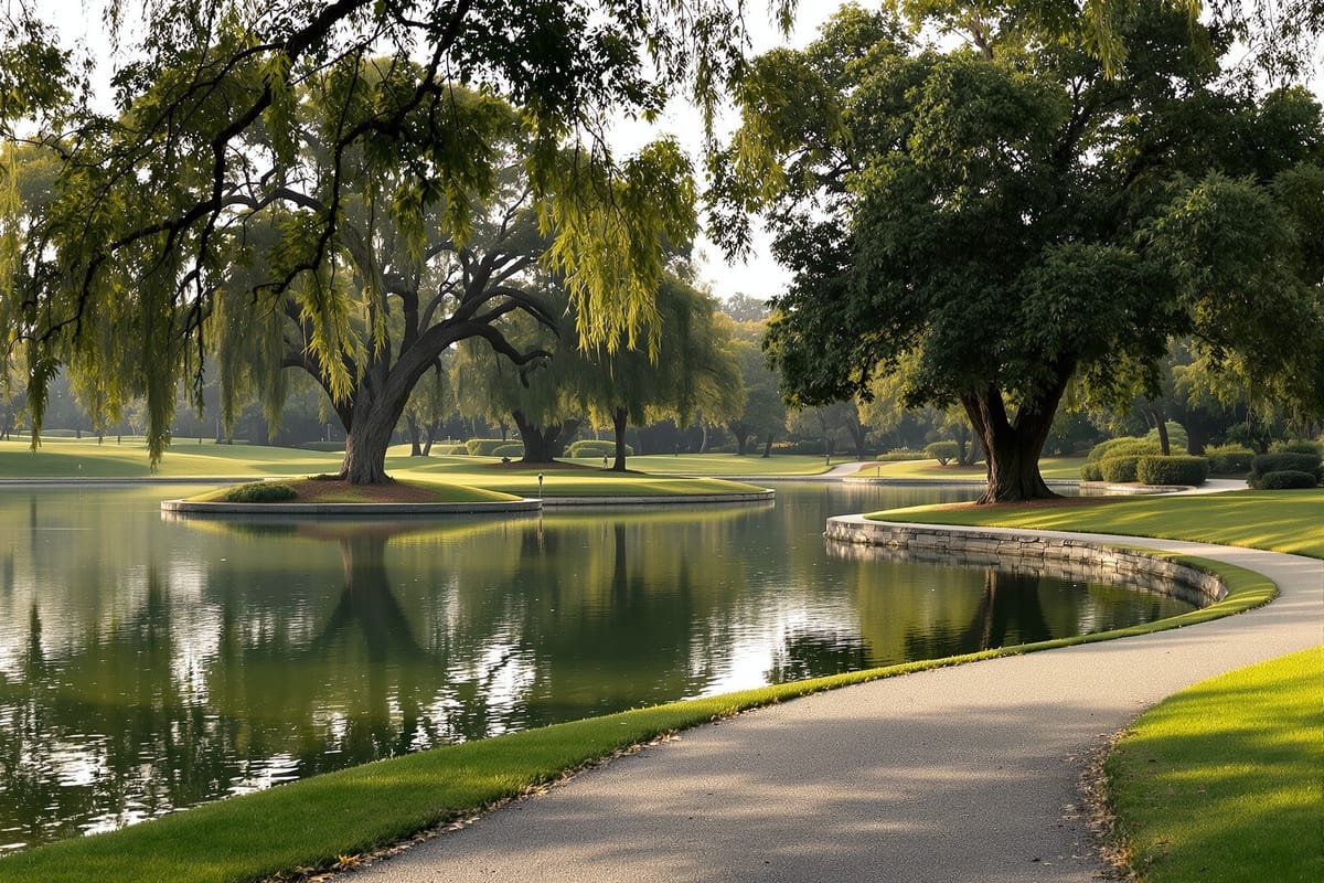
The city's park system runs from small neighborhood greens to large regional open space. Fairmount Park, north of downtown, is the historic centrepiece — a landscaped Victorian-era park with lakes and mature specimen trees. Mount Rubidoux offers a paved summit road used as a walking route with a wide view over the basin. Sycamore Canyon and Box Springs preserve native habitat and trail networks on the eastern edge. Beyond the city, the California State Parks system maintains a citrus-heritage park that interprets the industry the city was built on.
Institutions
Riverside is a public-institution city. The University of California, Riverside sits on the eastern side and is a major employer as well as a cultural and research presence. Riverside City College, founded in 1916, is one of California's older community colleges and occupies a campus near downtown. County government, the courts, a large healthcare sector and the city's own departments account for much of the remaining institutional employment. Additional private colleges also operate in the city.
What this means day to day
The practical shape of life here: you drive most places, you plan outdoor activity around the heat for a third of the year, you have more space than a coastal equivalent, and you are within an hour or two of mountains, desert and ocean without living in any of them. For how that translates into housing choices, see neighborhoods; for what it costs to run a household, see utilities.