What follows describes construction eras and physical character. It deliberately makes no claims about which areas are desirable, safe or expensive; those are judgments that change, vary block by block, and are better formed by walking a street at different hours than by reading anyone's summary. The City of Riverside publishes its own neighborhood profiles and maps if you want the official boundaries.
The original grid: downtown and the Northside
The 1870 colony plan laid out a compact downtown grid with unusually wide streets, surrounded by long agricultural blocks. Downtown still reads that way. It has the city's civic buildings, a pedestrian mall, early twentieth century commercial architecture in brick and Spanish revival styles, and a small but growing stock of converted upper-floor residential space. Housing immediately around the core is mixed in age and type, with everything from Victorian-era cottages to mid-century apartment blocks on the same street.
North of the core, toward the Santa Ana River, the street pattern is older and less regular, and the housing stock is correspondingly varied. These are among the oldest continuously occupied residential parts of the city.
The citrus-era streetcar neighborhoods: 1900–1930
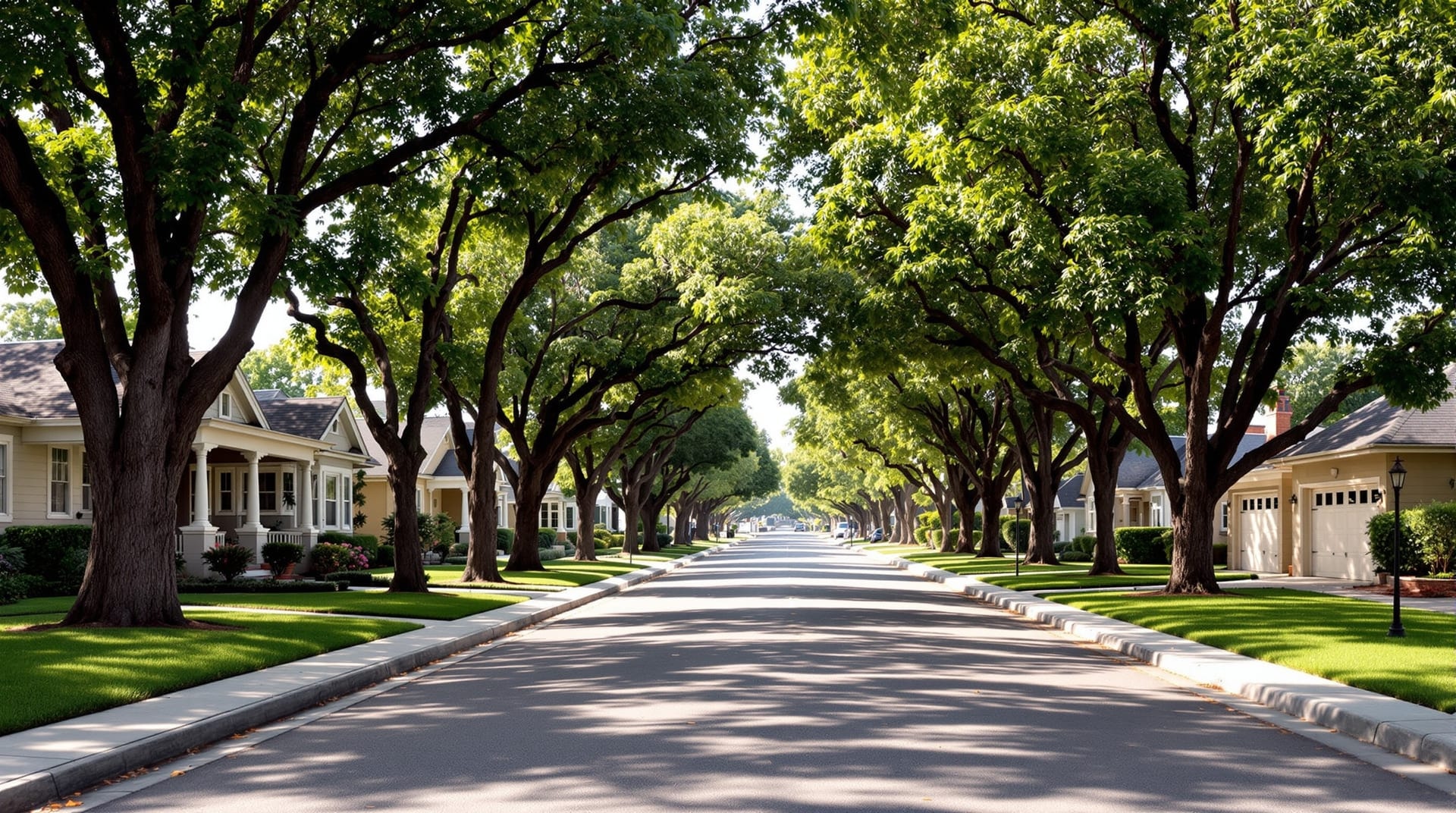
The area generally known as the Wood Streets — a set of parallel residential streets south of downtown — is the clearest surviving example of Riverside's prosperous citrus period. The houses are craftsman bungalows, Spanish colonial revivals, Tudor revivals and period cottages, mostly single-storey or storey-and-a-half, set on rectangular lots behind deep front lawns with detached garages at the rear. Street trees planted a century ago now form full canopies, which is a genuine functional advantage in an inland summer.
Houses of this era come with the usual older-home considerations: original wiring and plumbing that may or may not have been updated, foundations and roofs of a certain age, single-glazed windows, and rooms sized for a different way of living. They also come with materials and craftsmanship that are simply not available at any price in new construction. Several parts of the city carry historic designation, which brings design review for exterior alterations — worth confirming for any specific address before planning work.
Victoria Avenue and the western slopes
Victoria Avenue is a historic divided parkway laid out during the citrus boom, with a landscaped median and remnant groves along parts of its length. The neighborhoods that developed along and above it — including the hillside areas rising to the southwest — mix large early estates with later custom homes on irregular hillside lots. Topography is the defining feature: winding streets, long driveways, views, and the maintenance and access considerations that come with building on a slope.
The postwar tracts: 1950–1975
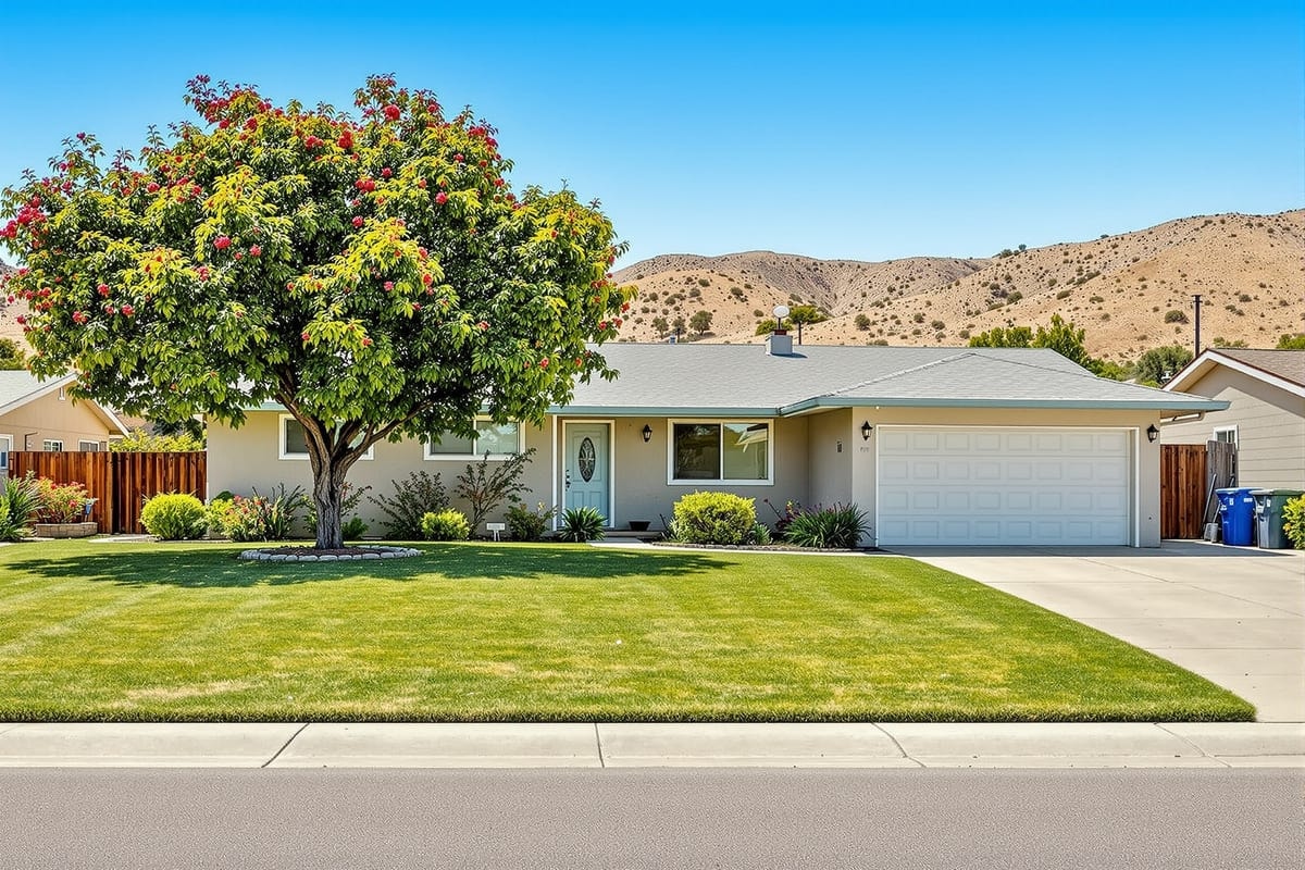
The largest share of Riverside's housing stock dates from this period, and it is spread across the central and western parts of the city — the areas around Magnolia Center, Arlington, Arlanza, La Sierra and the corridors between them. The characteristic house is a single-storey ranch: three or four bedrooms, attached garage, low-pitched roof, generous flat lot, built for a family with a car and an evening in the back yard.
These homes are the practical middle of the market. They are straightforward to renovate, the floor plans adapt well, and lot sizes often leave room for an addition or an accessory dwelling unit. Their weak point is envelope performance — insulation and window standards of the era are far below current code — which is exactly what drives a summer electric bill. Many have been upgraded; many have not, and the difference is worth measuring rather than assuming.
The hillside and university developments: 1975–1995
Canyon Crest and the areas around the university grew as the campus did, on the eastern slopes below Box Springs Mountain. Housing here is more varied — two-storey tract homes, townhouses, condominiums and custom hillside properties — and the street layout follows contours rather than a grid, with cul-de-sacs and connector roads instead of through streets. Proximity to the campus shapes the local rhythm, including a rental component that the older tract areas do not have.
The master-planned southern edge: 1985–present
Orangecrest, Mission Grove and the developments around them represent the newest substantial residential construction inside the city, built south and east of the older grid on land that was groves within living memory. The houses are larger and more recent — two storeys, open plans, attached three-car garages, modern insulation and HVAC — laid out in planned communities with parks, trails and, in many cases, a homeowners association.
Two things distinguish this era financially. First, newer construction means lower maintenance risk and better energy performance in the near term. Second, developments of this period frequently carry community facilities district assessments on the property tax bill to pay for the streets, schools and infrastructure the development required. That charge is real money, it is separate from the base property tax, and it should be looked up for the specific parcel rather than estimated. See the home values page for how that fits into total cost of ownership.
How to actually choose
Three checks are worth more than any amount of reading:
- Drive the commute, at the real hour. Two neighborhoods ten minutes apart can differ by half an hour in peak-direction traffic depending on which freeway they feed.
- Confirm the school attendance area for the exact address. Boundaries do not follow neighborhood names — see schools.
- Visit in the afternoon in summer. Tree cover, orientation, prevailing breeze and the slope of the land make a measurable difference to how a house feels and what it costs to cool.
When you have narrowed the list, the home search page covers how to work through individual properties.