A colony, not a boomtown
The founding group was organised, capitalised and explicit about what it wanted: an agricultural settlement of small landholders, temperance-minded, with wide streets and generous lots. That plan explains features a visitor still notices — avenues far broader than the traffic of the 1870s could possibly have required, a compact civic core, and long straight agricultural avenues radiating out into what were then groves.
The land itself was semi-arid and, without irrigation, capable of very little. The colony's first substantial engineering work was therefore water: canals drawn from the Santa Ana River to bring supply onto the valley floor. Every subsequent phase of growth depended on extending, defending and paying for that water. It is not an overstatement to say the city is a water project with a town attached.
The navel orange
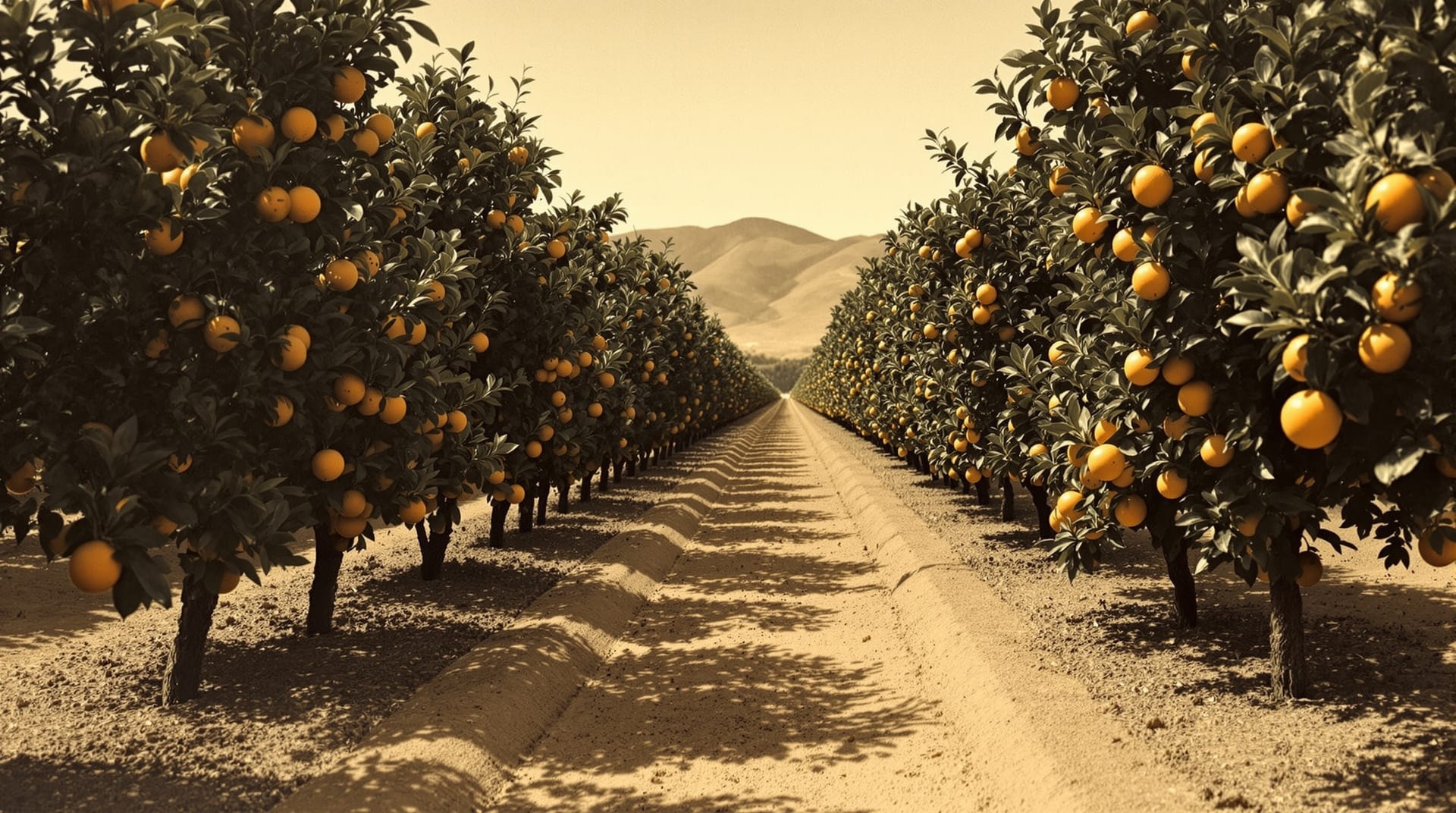
In the early 1870s a small number of seedless orange trees, originally from Brazil, were sent from federal agricultural authorities to a Riverside resident, Eliza Tibbets, and planted here. The variety — the Washington navel — turned out to be extraordinarily well suited to the local combination of heat, sunlight, mild winters and irrigated soil. The fruit was seedless, shipped well, and could be propagated by budding, which meant the entire subsequent industry descended from those few trees.
Within two decades, navel orange cultivation had reshaped the regional economy and made Riverside briefly one of the wealthiest cities per capita in the United States. One of the original parent trees survives in the city and is preserved as a historic landmark. The wealth of that period paid for the civic buildings, the landscaped parkways and the substantial houses that give the older neighborhoods their character — the connection between the citrus economy and the built environment is direct.
Victoria Avenue and the landscape of a boom
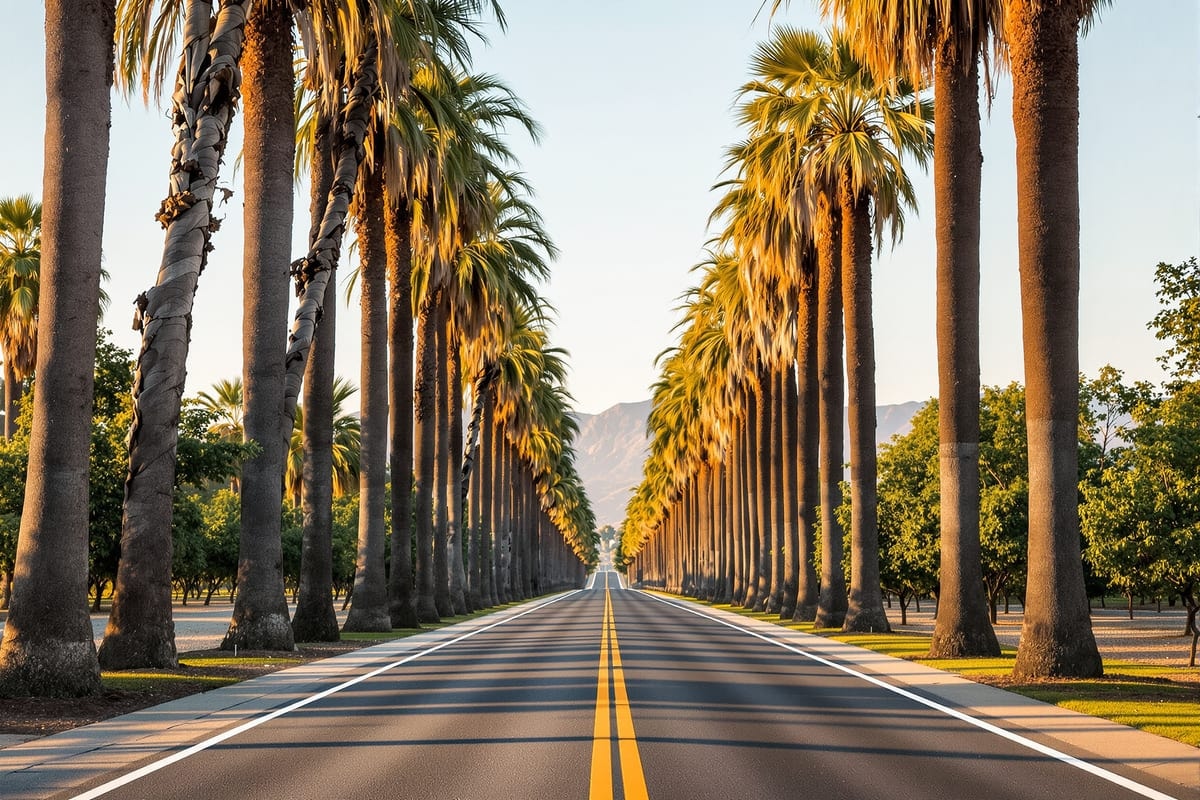
Victoria Avenue, laid out in the 1890s as a divided parkway running through the groves, is the clearest physical survivor of that era. It was built as an ornamental approach through productive agricultural land, planted along its median and edges, and it still runs for miles with remnant groves alongside it. Reading the avenue tells you what the boom actually looked like: a working agricultural landscape that its owners also intended to be beautiful.
Much of the surrounding grove land has since been developed, which is precisely why the surviving fragments are protected. The California State Parks system maintains a citrus-heritage state historic park within the city that preserves working groves and interprets the industry.
Water, science and the university
Because the whole economy depended on trees, the region invested early in agricultural science. A federal and state citrus experiment station was established in Riverside in the early twentieth century to work on pests, rootstocks, irrigation and soil. That institution grew, broadened and eventually became a full campus of the University of California — which is why the city's largest research institution has deep roots in entomology, plant science and soil and water research rather than arriving as a generic branch campus. The University of California, Riverside traces its origins directly to that agricultural work.
The twentieth century turn
Citrus dominance did not last. Disease pressure, rising land values, water costs, wartime and postwar population growth, and the arrival of the freeway system together converted grove land into housing at increasing speed from the 1940s onward. The ranch tracts described on the neighborhoods page are literally built on former groves, and street names throughout the city still carry the names of the orchards and the growers.
The later twentieth century added the institutions that define the city now: county government at scale, the university, hospitals, community colleges, and the logistics economy that followed the freeways. The population passed 300,000 in the 2010s, making Riverside one of the larger cities in California by headcount while retaining a downtown built at nineteenth century scale.
What still shows
Four inheritances from the colony period are visible on any drive through the city:
- Street width. The avenues were laid out for a city that did not exist yet, and they are correspondingly generous.
- The grid and the diagonals. Agricultural avenues cut across the residential grid at angles that make no sense until you know they were grove access roads.
- Mature landscape. A century of deliberate planting, on a floodplain that supported almost no trees naturally.
- A publicly owned utility. The city has owned its water and electric systems since the era when doing so was the only way to guarantee supply to the groves — which is still how residents get service today. See utilities.
Local historical collections, the city's museum service and the county archives hold the primary material for anyone who wants to go further; the City of Riverside publishes information on its historic districts and landmark designations, which is also the practical starting point if you are buying a property that carries one.